

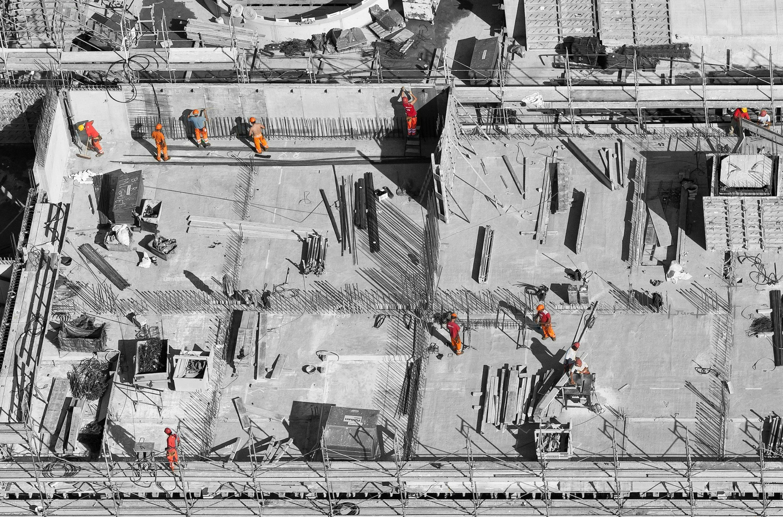
Construction Monitoring
Construction monitoring is repeatable drone capture (photo, video, and maps) done weekly, monthly or at milestones to document progress and keep teams aligned.
How we work
Who is it for
General contractors, owners reps, developers
Civil and infrastructure teams
Project managers who need consistent progress documentation
Available Deliverables
High-resolution progress photo set
Aerial video (overview + key areas)
Annotated progress report (PDF) with notes and key observations
Orthomosaic map (PDF + optional GeoTIFF)
Time-lapse style comparison (side-by-side or month-over-month)
Consistent “same angle” captures for easy week-to-week comparison
Typical Use Cases
Weekly progress updates for internal teams and stakeholders
Milestone documentation (excavation complete, forms, rebar, pour, envelope, etc.)
Schedule verification and dispute support (visual record over time)
Site logistics planning (laydown areas, access routes, staging changes)
Remote updates when key stakeholders can’t visit site
Turnaround
Typical: 2–3 business days after the flight (depending on deliverables and site size)
Rush options available for critical updates
Weekly, Monthly, Quarterly or milestone based packages available