

Stockpile & Inventory Volume
We use drone mapping to calculate stockpile and inventory volumes (sand, gravel, soil, mulch, salt, etc.) and deliver clear volume reports you can track over time.
How we work
Who is it for
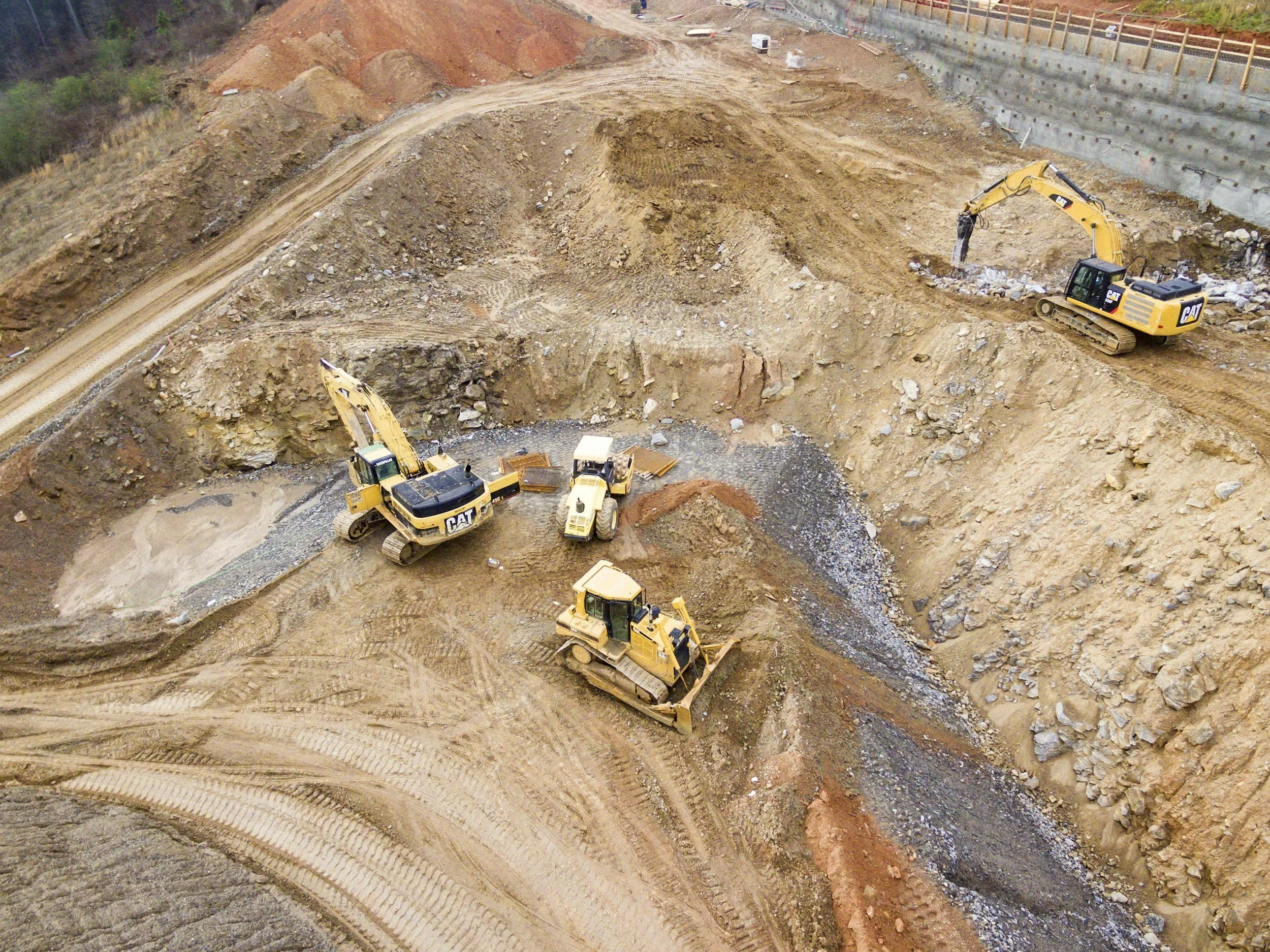
Aggregates yards, quarries, and material suppliers
Construction sites tracking import/export and on-hand inventory
Operations teams who need fast, consistent volume estimates
Available Deliverables
Stockpile volume report (PDF) with totals and pile-by-pile breakdown
Volume table (CSV/Excel) for your internal tracking
Annotated map showing pile IDs and boundaries
Change-over-time comparison vs. previous scans
Orthomosaic and surface model outputs if you want full mapping too
Typical Use Cases
Monthly inventory reporting and reconciliation
Production tracking (how much moved since last scan)
Verifying supplier counts or internal yard measurements
Planning loads, haul schedules, and procurement
Supporting audits or operational reporting
Turnaround
Typical: 2–3 business days depending on site size, complexity, and processing needs
Recurring schedules available (weekly, monthly, quarterly)